
 bim@mksurveys.co.uk
 01908 565561
Mobile Mapping and measurement using the latest technology;
MK Surveys mobile mapping solutions include:
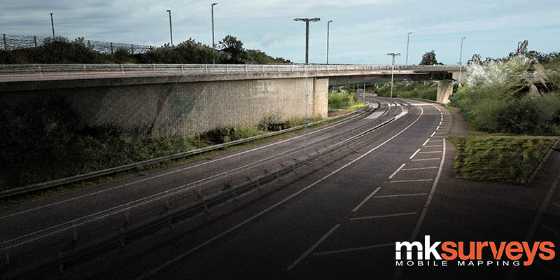
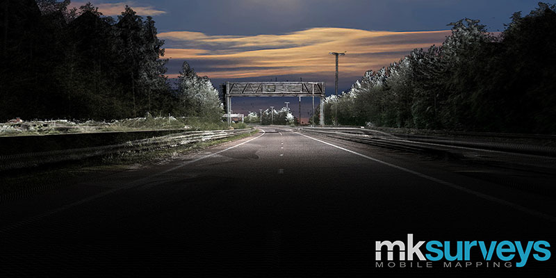
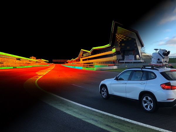
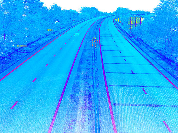
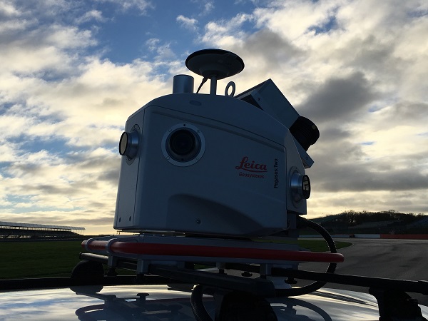
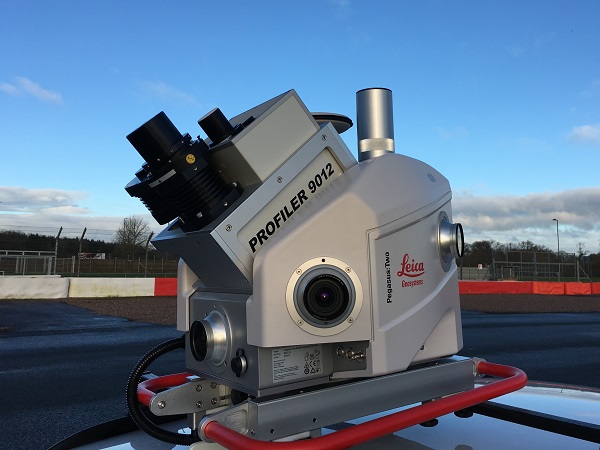
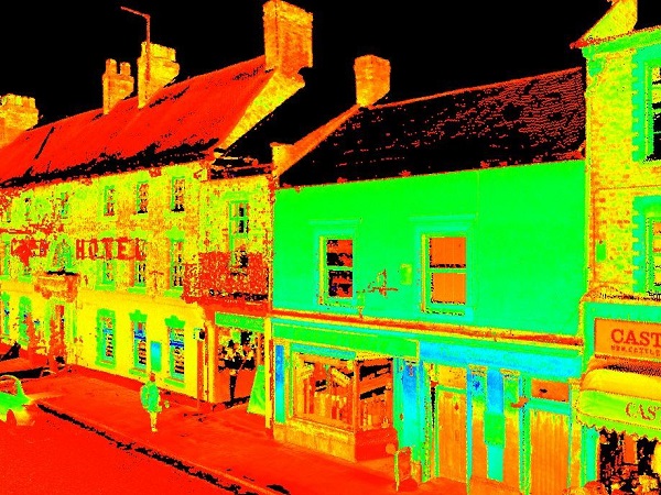
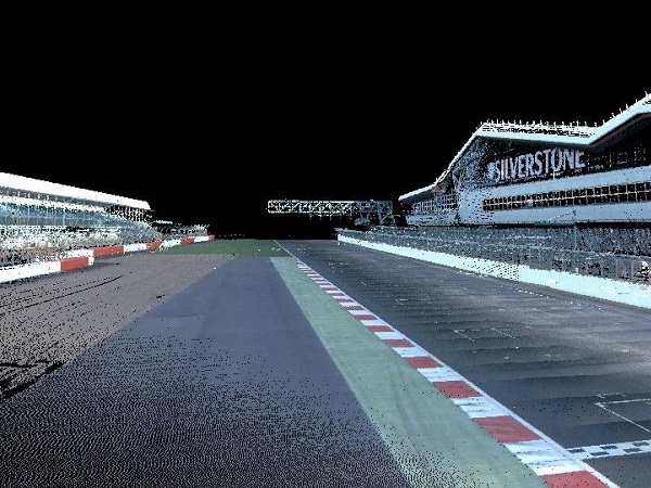
Vehicle mounted Leica Pegasus:Two mobile mapper for various infrastructure projects including surveys of highways, rail, structures as well as GIS data collection and asset management.
All data is collected remotely from a moving vehicle to survey grade accuracies whilst drastically reducing man hours and addressing critical health and safety considerations on site.
Speed - Accuracy - Safety
ZEB-REVO - used to acquire survey data quickly and accurately for BIM survey model creation and measured building surveys. A handheld Simultaneous Location And Mapping (SLAM) mobile laser scanning device that enables building internals to be recorded unobtrusively on site in a fraction of the time conventional methods require. All to within RICS tolerances with the resulting ‘pointclouds’ processed into any required format, whether 3D BIM models or 2D line drawings.


 Oxford